The integration of transportation and land use is integral to the successful development of an effective multimodal transportation system. Reducing single occupancy vehicle (SOV) travel, and developing and implementing strategies, other than road widening, to improve safety and mobility through other modes of transportation (i.e. transit, community shuttles, bicycle and pedestrian) are the main intent of the Congestion Management Process/Livability Planning.
The Broward MPO has combined the Congestion Management Process and Livability Planning to provide a comprehensive approach to implementing the Long Range Transportation Plan (LRTP).
Congestion Management
Through the Congestion Management Process, the Broward MPO monitors the capacity and traffic levels on major roadways in the Broward region.
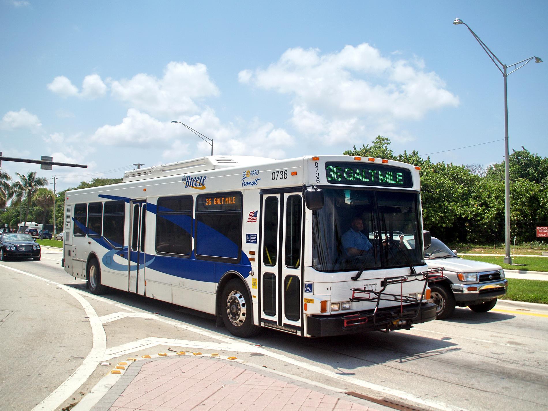
The Congestion Management (CM) Corridor/Area studies are part of the Congestion Management Process. The main intent of the Congestion Management studies is to develop and implement strategies, other than road widening, to improve the safety and mobility through other modes of transportation (i.e. transit, community shuttles, bicycle and pedestrian) and to reduce single occupancy vehicle (SOV) travel.
Livability Planning
The MPO Livability Planning tasks are consistent with the guiding principles of the federal Partnership for Sustainable Communities. The Partnership helps American families in all communities gain better access to affordable housing, more transportation options, and lower transportation costs while simultaneously protecting the environment, promoting equitable development, and helping to address challenges. [link to Partnership for Sustainable Communities website]
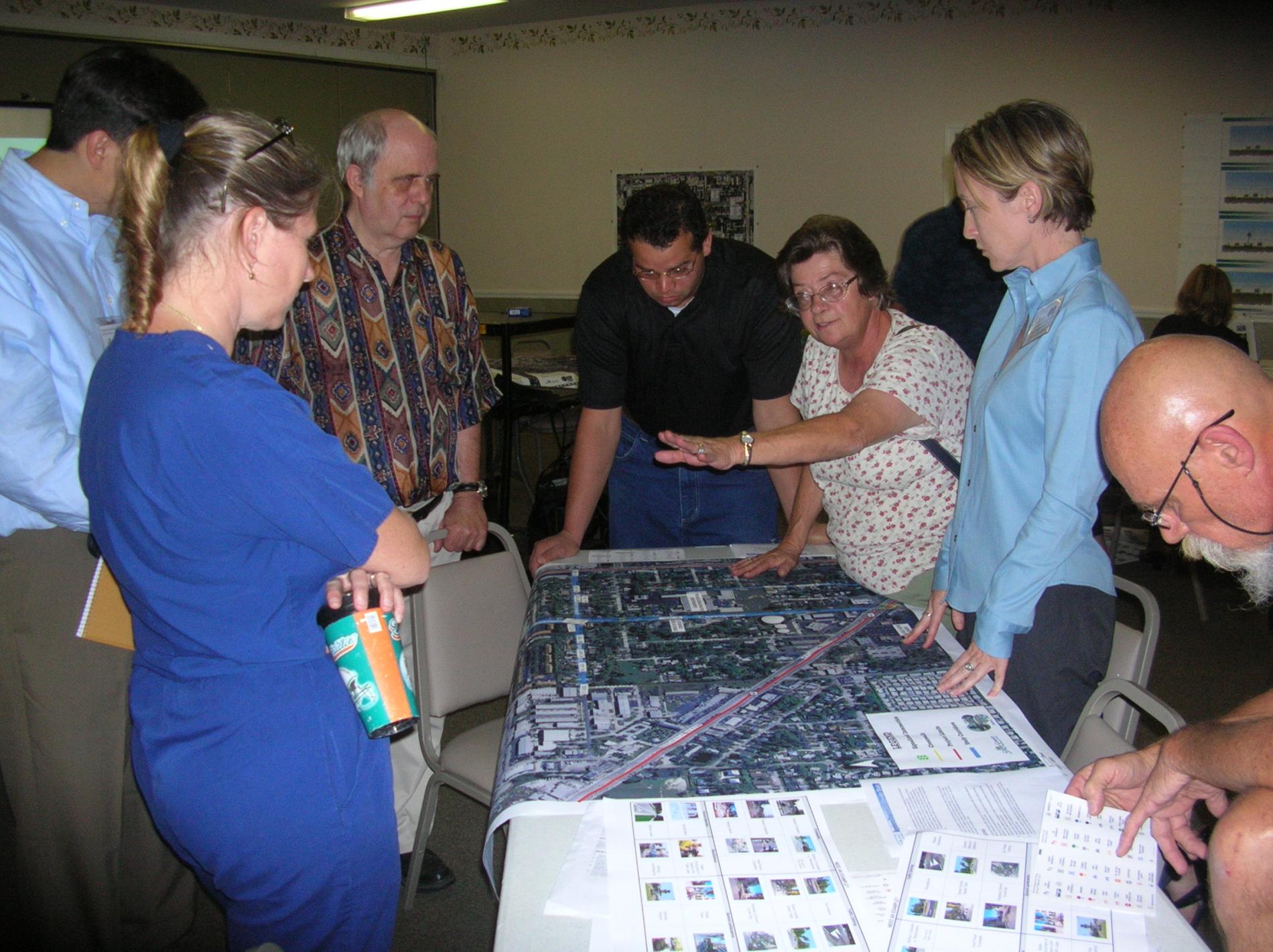
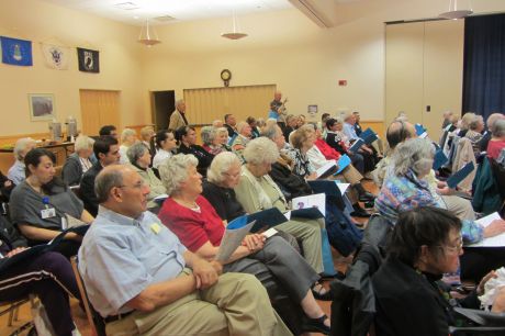
Livability Planning focuses on issues that affect our daily lives and how we live, work and play. As part of a continuing, coordinated and comprehensive planning process, the Broward MPO works with local stakeholders to conduct Livability Planning Studies that result in multi-disciplinary recommendations to improve the quality of life related to:
- Transportation improvements,
- Land use designations,
- Rezoning and design guidelines,
- Business retention, expansion, and attraction,
- Affordable and attainable housing.
More specifically, the recommendations address the location of Mobility Hubs [link to Mobility Hub graphics] and transit infrastructure, bicycle and pedestrian facilities, designation of appropriate land uses, and guidelines for appropriate redevelopment and retrofitting.
Mobility Hubs are critical points within the multi-modal transportation system, with:
- Frequent transit service,
- Connections for walking, biking, park-n-ride, transit, and carpooling
- Proximity to areas with high development potential
- Opportunities to generate transit ridership and transfers
Mobility Hubs can also provide direct connections to concentrated activities such as housing, commercial, office, and entertainment. They also present an incremental method of improving transportation and land use within the communities in a manageable and focused way.
Combined Planning
The Congestion Management process deals with current and short-term transportation conditions, while the LRTP looks 25 years into the future. Short-term strategies and congestion management improvements will address safety and mobility issues, transit service, transit access projects such as community shuttles, transit transfer improvements, bicycle and pedestrian projects and land use and development code changes with an emphasis on Mobility Hubs and along premium transit corridors. Mid- to long-term recommendations on alternatives/projects, such as premium transit service, are more capital intensive and require additional analyses and focus on the travel benefits for transit.
Documents
| Title | Type | Size | Date | Link |
|---|---|---|---|---|
| Executive Summary | 1.89 MB | 18 Mar, 2015 | Download | |
| Table of Contents | 176.85 KB | 18 Mar, 2015 | Download | |
| Performance Measures | 855.05 KB | 18 Mar, 2015 | Download | |
| Public Involvement Plan | 550.80 KB | 18 Mar, 2015 | Download | |
| Data Collection | 246.06 KB | 18 Mar, 2015 | Download | |
| Transportation Analysis Summary | 2.73 MB | 18 Mar, 2015 | Download | |
| Land Use Analysis | 1.58 MB | 18 Mar, 2015 | Download | |
| Project Development | 4.38 MB | 18 Mar, 2015 | Download | |
| Implementation and Monitoring Plan | 4.33 MB | 18 Mar, 2015 | Download |
Congestion Management Map Series
- Existing Overcapacity Roadway Network - Tier 1 - Peak Hour
- Existing Overcapacity Roadway Network - Tier 1 - Daily
- Existing + Committed Overcapacity Roadway Network - Tier 2 - Peak Hour
- Existing + Committed Overcapacity Roadway Network - Tier 2 - Daily
- High Activity Bus Stops
- Existing Truck Annual Average Daily Traffic
- Existing Overcapacity Roadway Network – Tier 1 - Peak Hour
- Existing Overcapacity Roadway Network – Tier 1 – Daily
- Existing + Committed Overcapacity Roadway Network – Tier 2 – Peak Hour
- Existing + Committed Overcapacity Roadway Network – Tier 2 – Daily
- High Activity Bus Stops
- Existing Truck Annual Average Daily Traffic